Doi Mamuang Sam Muen | Tak
1/4 photos
Location details
Doi Mamuang Sam Muen | Tak Province
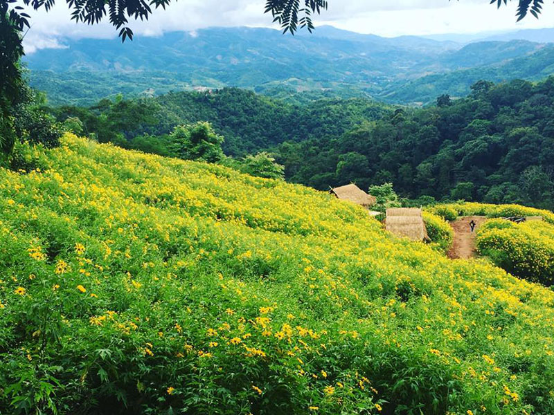
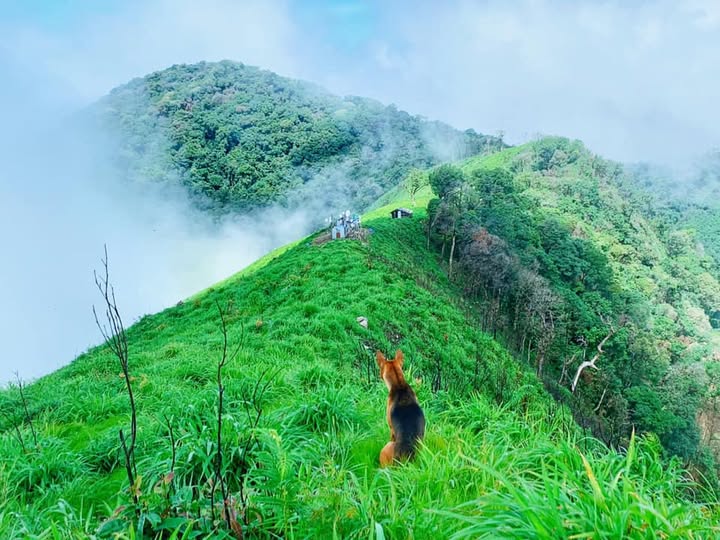
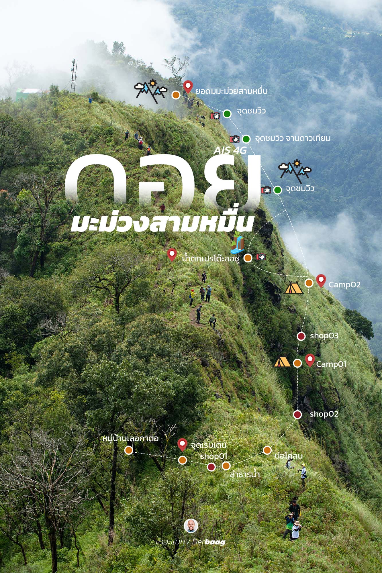
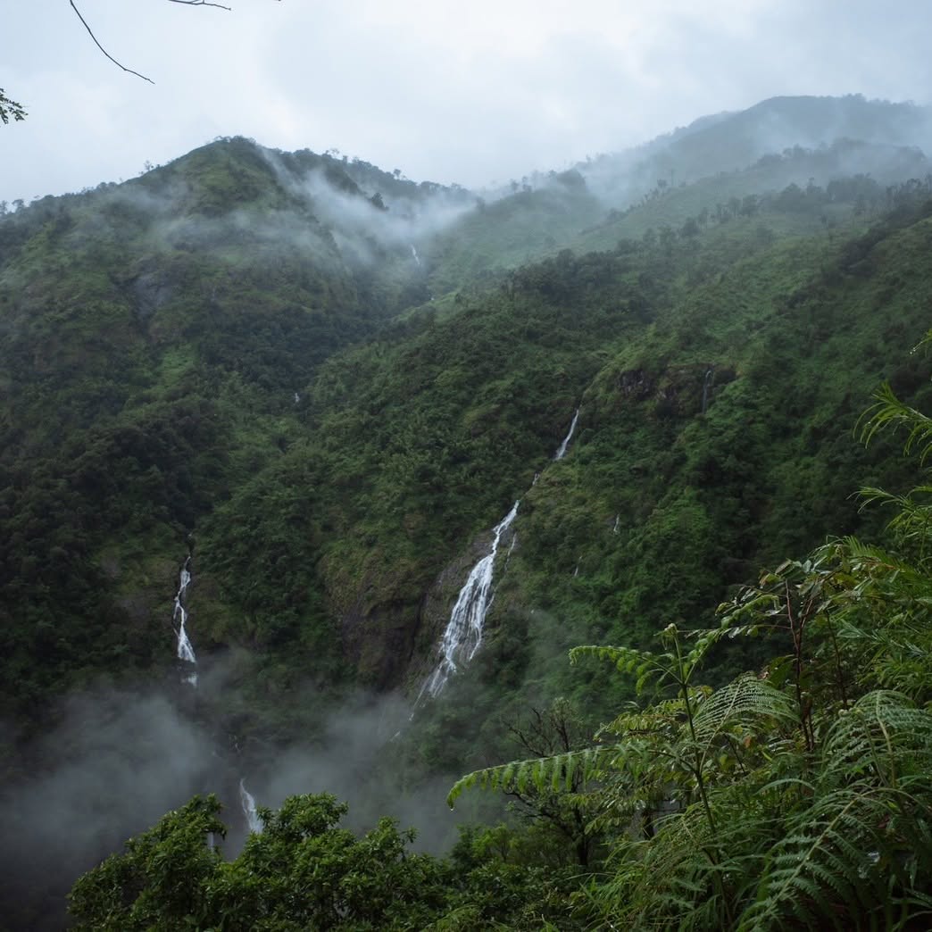
Doi Mamuang Sam Muen is a peak rising approximately 1,600–1,650 meters above sea level. Located within the Umphang Wildlife Sanctuary in Umphang District, Tak Province, it is home to Pitu Gro Waterfall (also known as Pre-to-lo-su)—one of Thailand's tallest waterfalls, famous for its heart-shaped appearance.
Key Information & Travel Details
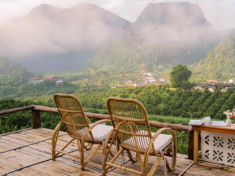
• Highlights: A 360-degree view of the sea of mist from the ridge and a high-angle view of Pitu Gro Waterfall.
• Opening Period: Open to visitors only during the rainy season, approximately June through October each year.
• Recommended Duration: A 3-day, 2-night trip is recommended to fully enjoy the waterfall and summit the peak.
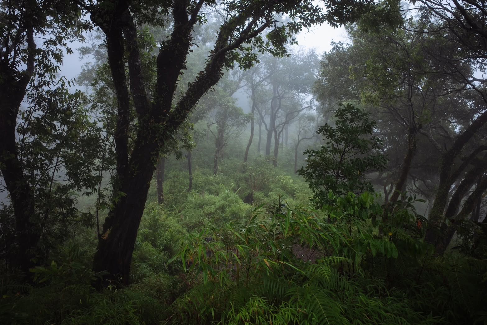
• Trail Difficulty: Level 4/5. The path is steep, slippery, and narrow, requiring treks through streams and bamboo forests.
• Essential Gear: "Doi Studs" (local spiked trekking shoes), leech-proof socks, and trekking poles.
Getting to Doi Mamuang Sam Muen
If traveling from Mae Sot District, head directly to Umphang District. The journey covers a distance of over 180 kilometers and takes approximately 4 hours. You will navigate a winding mountain route featuring 1,219 curves; the road is complex and steep, so driving at high speeds is not possible. Therefore, a fair amount of caution is required.
Doi Mamuang Sam Muen, Tak
Address: Mae Chan Subdistrict, Umphang District, Tak Province
Coordinates: https://goo.gl/maps/F7YU9paLYpgQz2fd6
Visiting hours: Please check with your expert guide.
Doi Mamuang Sam Muen is a peak rising approximately 1,600–1,650 meters above sea level. Located within the Umphang Wildlife Sanctuary in Umphang District, Tak Province, it is home to Pitu Gro Waterfall (also known as Pre-to-lo-su)—one of Thailand's tallest waterfalls, famous for its heart-shaped appearance.
Key Information & Travel Details
• Highlights: A 360-degree view of the sea of mist from the ridge and a high-angle view of Pitu Gro Waterfall.
• Opening Period: Open to visitors only during the rainy season, approximately June through October each year.
• Recommended Duration: A 3-day, 2-night trip is recommended to fully enjoy the waterfall and summit the peak.
• Trail Difficulty: Level 4/5. The path is steep, slippery, and narrow, requiring treks through streams and bamboo forests.
• Essential Gear: "Doi Studs" (local spiked trekking shoes), leech-proof socks, and trekking poles.
Getting to Doi Mamuang Sam Muen
If traveling from Mae Sot District, head directly to Umphang District. The journey covers a distance of over 180 kilometers and takes approximately 4 hours. You will navigate a winding mountain route featuring 1,219 curves; the road is complex and steep, so driving at high speeds is not possible. Therefore, a fair amount of caution is required.
Doi Mamuang Sam Muen, Tak
Address: Mae Chan Subdistrict, Umphang District, Tak Province
Coordinates: https://goo.gl/maps/F7YU9paLYpgQz2fd6
Visiting hours: Please check with your expert guide.
becoming popular
0 Like
Rate and review You are the first to review