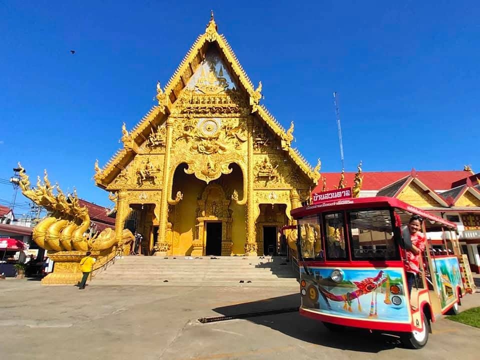
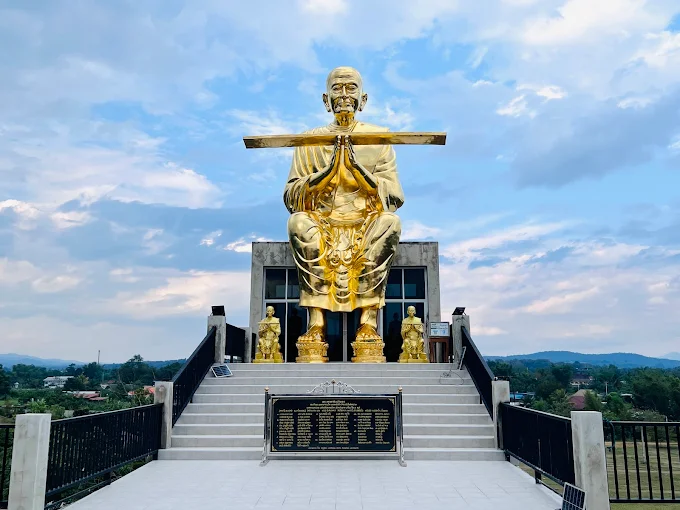
Doi Thu Le (or Mon Thu Le) | Tak
1/4 photos
Location details
Doi Thu Le (or Mon Thu Le) | Tak
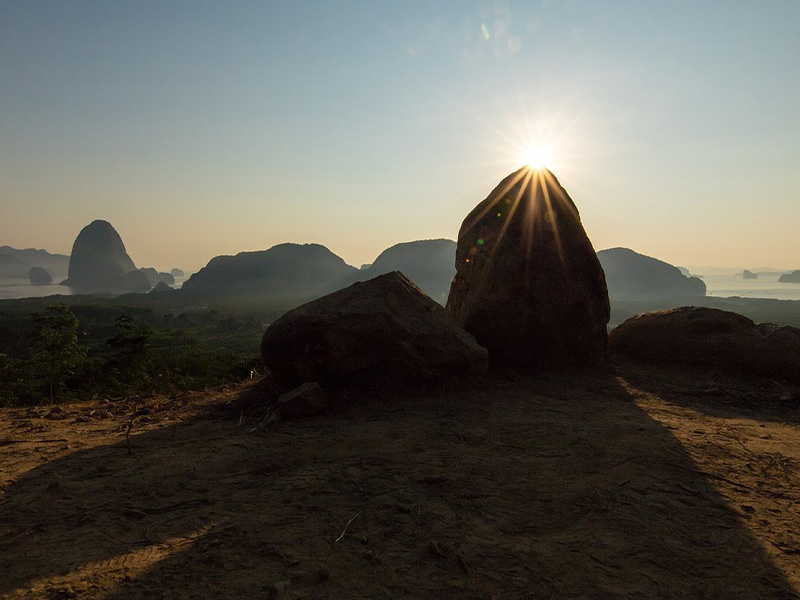
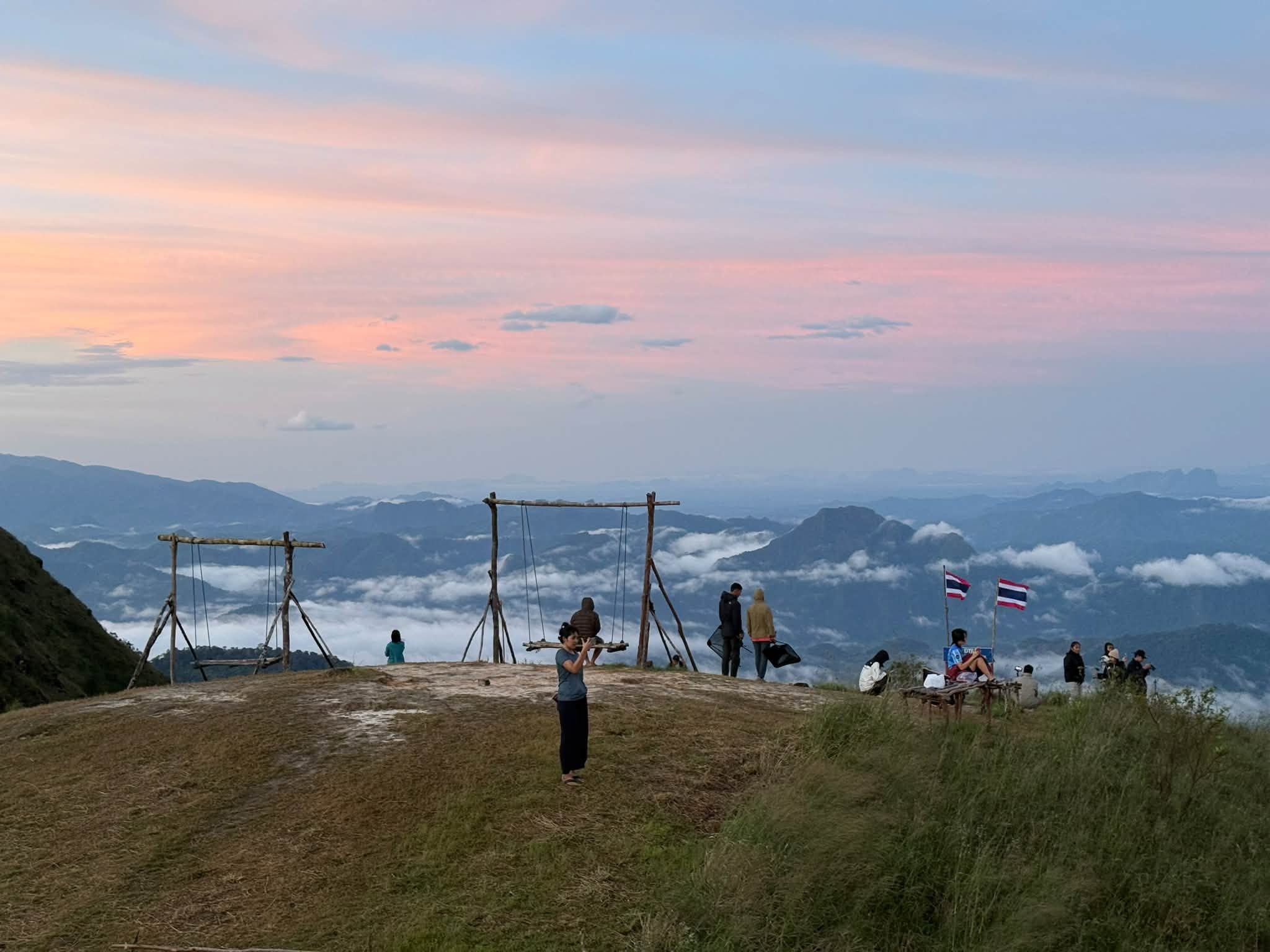
Doi Thu Le (also known as Thu Le Kho) is located in Tha Song Yang District, Tak Province. It is the highest peak in Tha Song Yang Subdistrict, rising approximately 1,350–1,360 meters above mean sea level.
General Information
• Meaning: In the Karen (Pga K'nyau) language, "Thu Le" means "Golden Mountain."
• Visiting Season: Open once a year, spanning the period from the end of the rainy season through the winter—roughly October to February (the golden grasslands are at their most beautiful between mid-November and January).
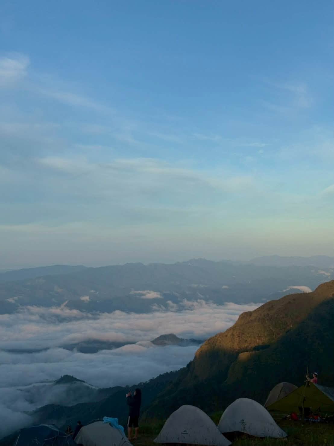
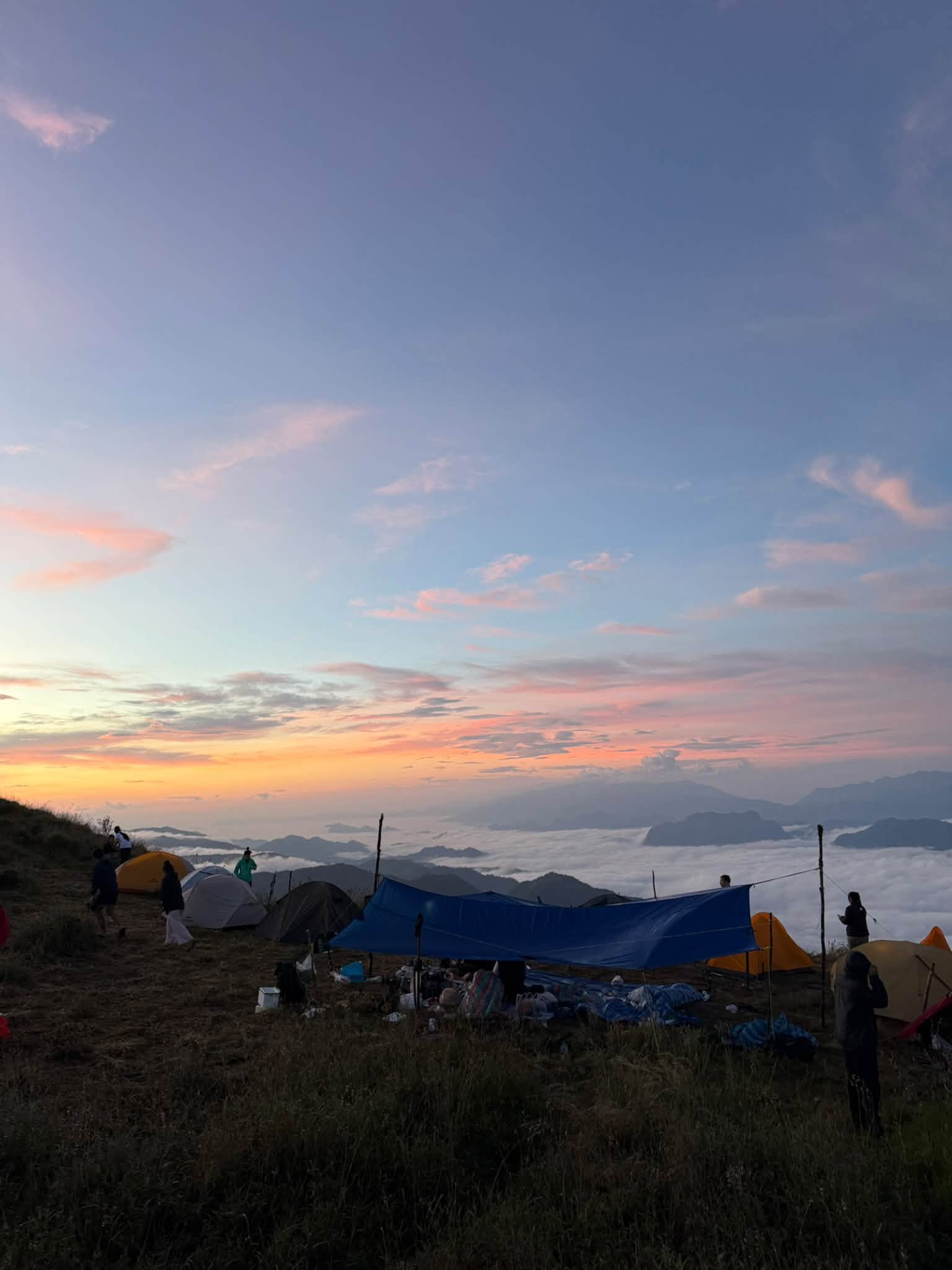
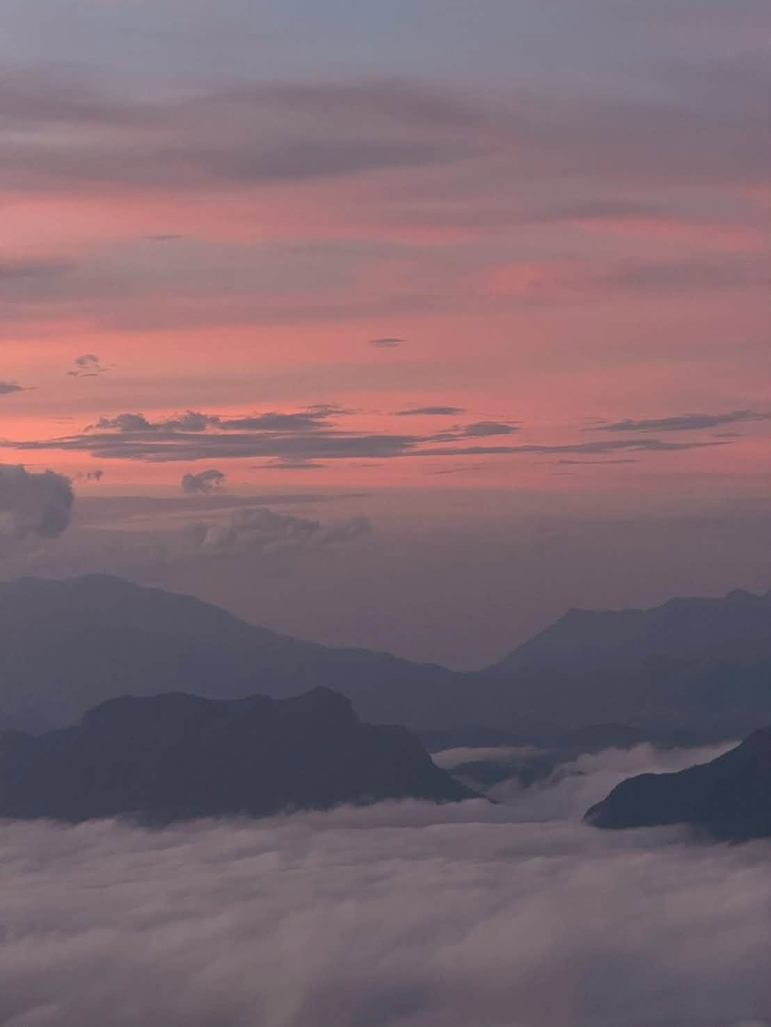
• Highlights: Dense seas of mist, sunrises and sunsets from the summit, and vast grasslands along the mountain ridge that offer
breathtaking, magnificent scenery.
Hiking Route
• Popular Route: Hikers often traverse a connected mountain circuit—Khlui Luang – Cho Wa Le – Thu Le (usually starting from Ban Thu Le or Ban Mae Cha-wang).
• Distance and Hiking Time:
• Total distance is approximately 11–13 kilometers per day (depending on the campsite and the specific route chosen by the local guide), requiring about 4–6 hours of walking per day.
• If hiking directly up from the village to Doi Thu Le... The route covers a distance of approximately 7.5 kilometers but features exceptionally steep inclines.
Preparation and Contact Information
• Travel: Drive from Tak City to Tha Song Yang District (a distance of approximately 160–180 km, taking about 4 hours). From there, arrange for a vehicle transfer or begin the hike at the designated meeting points: Ban Thule or Ban Mae Chwang.
Contacting Staff/Guides: It is recommended to arrange your trek through the local community enterprise or the Tha Song Yang Subdistrict Administrative Organization (SAO)
to ensure safety and to organize porters, meals, or camping equipment.
• Contact Information: Tha Song Yang Subdistrict Administrative Organization (SAO) – Tel. 055-577-437
Doi Thu Le (also known as Thu Le Kho) is located in Tha Song Yang District, Tak Province. It is the highest peak in Tha Song Yang Subdistrict, rising approximately 1,350–1,360 meters above mean sea level.
General Information
• Meaning: In the Karen (Pga K'nyau) language, "Thu Le" means "Golden Mountain."
• Visiting Season: Open once a year, spanning the period from the end of the rainy season through the winter—roughly October to February (the golden grasslands are at their most beautiful between mid-November and January).
• Highlights: Dense seas of mist, sunrises and sunsets from the summit, and vast grasslands along the mountain ridge that offer
breathtaking, magnificent scenery.
Hiking Route
• Popular Route: Hikers often traverse a connected mountain circuit—Khlui Luang – Cho Wa Le – Thu Le (usually starting from Ban Thu Le or Ban Mae Cha-wang).
• Distance and Hiking Time:
• Total distance is approximately 11–13 kilometers per day (depending on the campsite and the specific route chosen by the local guide), requiring about 4–6 hours of walking per day.
• If hiking directly up from the village to Doi Thu Le... The route covers a distance of approximately 7.5 kilometers but features exceptionally steep inclines.
Preparation and Contact Information
• Travel: Drive from Tak City to Tha Song Yang District (a distance of approximately 160–180 km, taking about 4 hours). From there, arrange for a vehicle transfer or begin the hike at the designated meeting points: Ban Thule or Ban Mae Chwang.
Contacting Staff/Guides: It is recommended to arrange your trek through the local community enterprise or the Tha Song Yang Subdistrict Administrative Organization (SAO)
to ensure safety and to organize porters, meals, or camping equipment.
• Contact Information: Tha Song Yang Subdistrict Administrative Organization (SAO) – Tel. 055-577-437
becoming popular
0 Like
Rate and review You are the first to review